Introduction
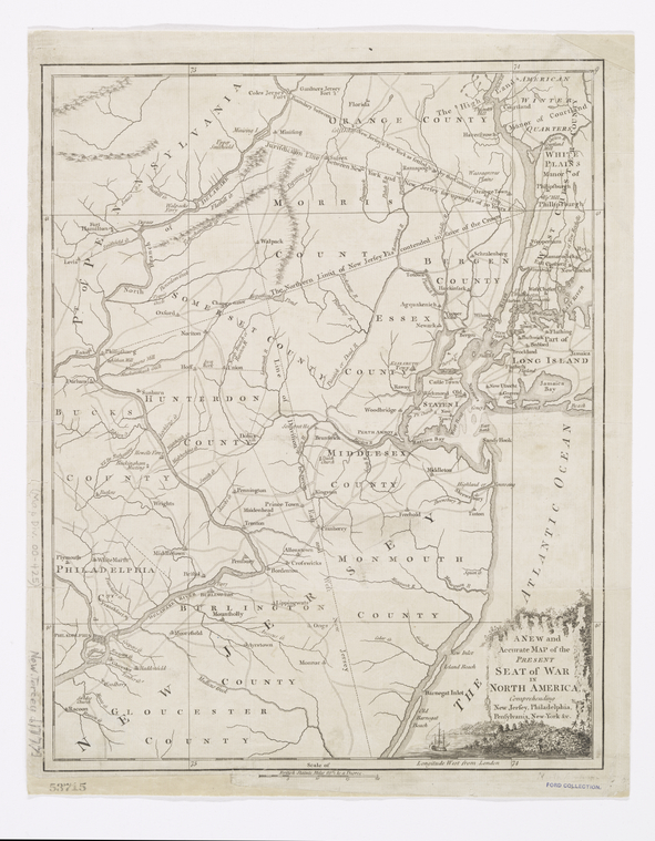
American Revolution maps represent an important historical record documenting the war. Maps can tell us a lot about the locations and movements of armies, battle sites, and strategically important harbors. These documents can also reveal the motives of the cartographers, whether they were created by the British, Americans, Native Americans, or others.
Finding Maps at NYPL
Maps created during the American Revolution are an important primary source for understanding geographical locations and historic battles.
NYPL Digital Collections Image ID: 433927
The list below highlights some suggested subject searches to find print resources held by NYPL for researching American Revolution maps.
- United States > History > Revolution, 1775-1783 > Maps
- United States > History > 18th century > Maps
- United States > History > Revolution, 1775-1783 > Cartography
Digitized maps and atlases are also available through NYPL Digital Collections.
Portions of the map collection are not yet searchable through the research catalog, and the historical card catalog, the Dictionary Catalog of the Map Division, is an invaluable tool for locating maps.
Examples of Primary Sources
When evaluating map resources, consider who created the map and when. If the creator of the map had direct knowledge of the area covered by the map, it could be considered a primary source. However, if a map is compiled from or copied from other sources, it may be a secondary source.
Concouguash, Chief Francis Joseph Neptune, Passamaquoddy tribe, allied with American colonists to fight the British, map of the Cobscook River area on July 12th, 1798
A map of the Province of New-York (1776), Library of Congress
Plan of the siege of York Town in Virginia, NYPL Digital Collections
NYPL Map Division
The Lionel Pincus and Princess Firyal Map Division
Contact the Map Division with your research questions at maps@nypl.org
Schedule a consultation with a reference librarian to discuss your research needs.

Suggested Titles for Teachers
Maps are engaging tools for the classroom and they can be used to facilitate spatial reasoning and visual learning. Incorporating these resources into the classroom can produce innovative lessons.
Want to find these books at a library near you? Try searching WorldCat!
The World of Maps by
Call Number: Map Div. 14-8097ISBN: 9781462516483Publication Date: 2014-09-22Maps have power--they can instruct, make life easier, mislead, or even lie. This engaging text provides the tools to read, analyze, and use any kind of map and assess its strengths and weaknesses. Requiring no advanced math skills, the book presents basic concepts of symbolization, scale, coordinate systems, and projections. It gives students a deeper understanding of the types of maps they encounter every day, from turn-by-turn driving directions to the TV weather report. Readers also learn how to use multiple maps and imagery to analyze an area or region. The book includes 168 figures, among them 22 color plates; most of the figures can be downloaded as PowerPoint slides from the companion website. Appendices contain a glossary, recommended resources, a table of commonly used projections, and more.Learning and Teaching with Maps by
Call Number: Map Div. 06-4566ISBN: 0415312108Publication Date: 2006-03-17A comprehensive and authoritative account of how primary school children and teachers can use maps to enhance learning and deepen understanding of this essential skill. It includes all aspects of map use, such as reading and interpreting maps and using maps to find the way, covering maps of all scales, including globes and atlases. The text is extensively illustrated with examples, including maps made by children themselves using conventional materials as well as computer software. A particular feature of the book is the integration of digital and conventional mapping, and Internet and CD-ROM cartography together with simple applications of Geographic Information Systems (GIS) appropriate to the needs of children right through primary and secondary education. This book will be of great use to all primary teachers and subject teachers in secondary school as well as non-specialist geography teachers, and will enable children to use all types of maps in new, compelling and thoughtful ways.
