Maps
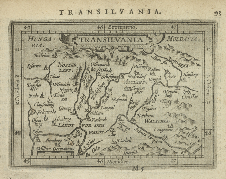
Several maps of Europe from the collection of the Lionel Pincus and 
Carte Nouvelle des Royaumes de Galizie et Lodomerie, avec le District de Bukowine (17th century)
Czechoslovakia (1974)
See also:
Materīaly po istorīi russkoĭ kartografīi / [sobralʹ V. Kordt] (1899)
Spezialkarte der Osterreichisch-Ungarischen Monarchie (1877-1914)