Maps and Atlases
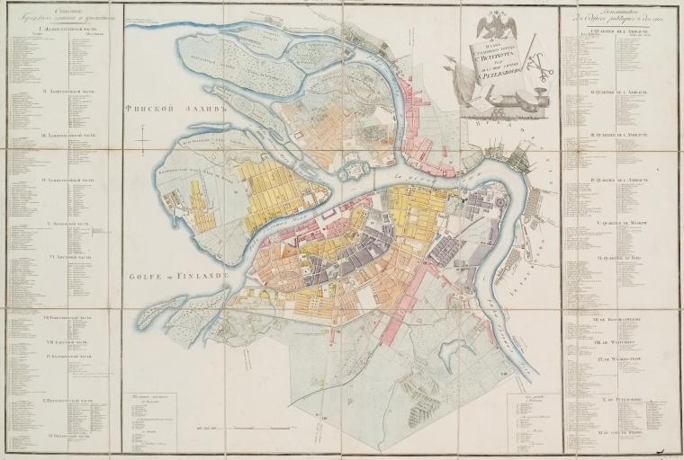
The Lionel Pincus and Princess Firyal Map Division, established in 1898, includes an impressive array of Slavic and East European materials. The types of materials include atlases, map sets, and individual maps as well as gazetteers, official place name lists, bibliographies, and other book publications relating to the geography and cartography of those countries. Alongside general maps of countries, one encounters numerous historical maps and atlases, geological and mineralogical surveys, navigational charts, maps of smaller regions and cities, road atlases, military maps (some of them dating from periods of conflict in the region), and economic, ethnographic, and other specialized materials. There are a significant number of original early maps with the Hungarian collection particularly rich in this regard. For some sample holdings of the Division see the list below.
| Please note that portions of the Map Division's collection that were created before 1970 are not yet searchable through the catalog, please email the Division (maps@nypl.org) for help locating materials in advance of your visit. The historical Dictionary Catalog of the Map Division (1971) is still a useful tool and is accessible through Hathi Trust. Please also refer to the information in "Visiting the Collection." |
Maps (in chronological order)
- The mape of Hungari / newly augmented by Iohn Speede and Dom. 1626.
- A newe mape of Tartary / John Speed (1626)
- Polonia regnum, et Silesia Ducatus / M. Merian fecit (1646)
- Estats de Pologne subdivisés suiuant l'estenduë des palatinats / par le Sr. Sanson, G. du R. (1685)
- Regno di Ungheria / del P. Coronelli [1707?]
- Partie meridionale de Moscovie / dressée par G. de L'Isle. (1730?)
- Nova et accurata Hungariae cum adiacentib. regn. et principatibus tabula / aeri incisa et venum exposita à Matth. Seuttero, S. Caes. M. Geogr. Augusta (1740?)
- Regni Hungariae tabula generalis ... / à Ioh. Bapt. Homanno Sac. Caes. Maj. Geographo Norimbergae (1730?)
- Das Koenigreich Bosnien, und die Herzegovina (Rama) samt den angroenzenden Provinzen von Croatien, Sclavonien, Temesvar, Servien, Albanien, Ragusa, und dem Venetianischen Dalmatien / ... im Jahre 1788 von Herrn Maximilian Schimek
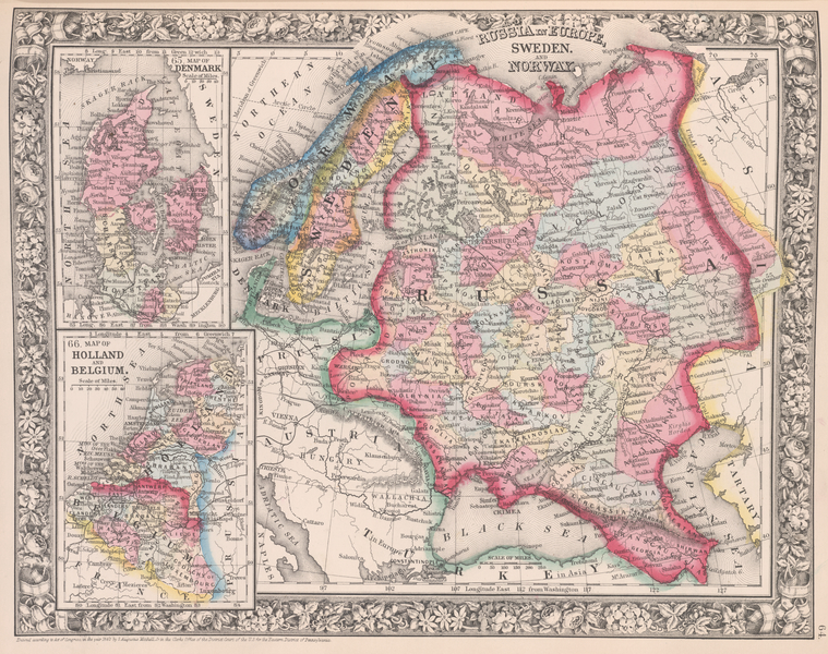
- The Baltic Sea & adjacent countries: from the Admiralty chart, and other authentic documents (1854)
- Map of Poland, showing the partitions / drawn and engraved by John Dower (1863)
- The war: maps showing the situation of towns and fortresses on the Danube / Ravenstein, Ernst Georg (1877).
- L'église catholique dans les Balkans / dessiné et gravé par R. Hausermann (1911)
- Galizien und Nordost-Ungarn / entworfen von A. Herrich (1912)
- Ukraïna : karta z zalizny︠t︡s︠i︡amy, shl︠i︡akhamy, kopalʹn︠i︡amy zxaliza, soli i nafty / vykonnan︠i︡a G. Freĭtaga i Berndta (1919)
- Ukraine; a series of maps and explanations indicating the historic and contemporary geographical position of the Ukrainian people, by G.W. Simpson ... (1942)
- War map of the Russian-German front (194-?)
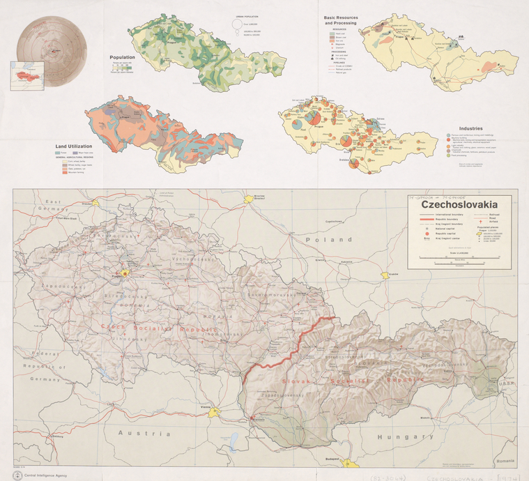
- Map of Slovakia / prepared and published by the Slovak Institute at St. Andrew's Abbey (1965)
- Socijalistička Republika Hrvatska / urednik Zvonimir Dugački (1973)
- Republika Hrvatska i republika Bosna i Hercegovina, narodnosna karta, geografska karta, cestovna karta / Leksikografski zavod “Miroslav Krleža” (1992).
- The historical boundaries between Bosnia, Croatia, Serbia: documents and maps 1815–1945 / edited by Anita L. P. Burdett (1995).
- Ukraine = Ucrania = Ukraina / Reise Know-How (2019)
Atlases
- Magyar atlas: az az Magyar, Horvát, és Tót országok vármegyéji, 's szabad kerületei és a határ‐orzo katonaság vidékinek közönséges és különös tábláji / közre botsátotta Görög; folytatta és végezle Márton József) (1802),
- Atlas s︠i︡everozapadnykh beregov Ameriki ot Beringova proliva do mysa Korrīentes i ostrovov Aleutskikh s prisovokuplenīem n︠i︡ekotorykh m︠i︡est s︠i︡everovostochnago berega Azīi / sostavil kapitan 1-go ranga Teb︠i︡enʹkov (1852)
- Zemljopisni atlas Republike Hrvatske / [urednik Ivan Bertić] (1993)
- Atlas zemí Koruny české / Eva Semotanová (2002)